Climate change is presenting fresh challenges to managers of tribal lands and forests. Many communities are responding by enlisting cutting-edge imaging technologies to both better understand their ancestral lands and help often shorthanded staff make informed decisions.
Using tech tools, of course, is nothing new. Foresters and wildlife conservationists have employed remote sensing for forest inventory, fire management, and wildlife habitat conservation planning for more than 30 years, according to Maggi Kelly and Stefania Di Tommaso of the University of California, Berkeley, writing in California Agriculture. Recently, though, forest and land managers have been adding satellite data and aerial surveillance with new imaging technologies such as light detection and ranging (LIDAR) and geographic information systems (GIS). Kelly and Di Tommaso note that remote imaging can be used to model fire behavior, map topography and forest structure down to individual trees, delineate wildlife habitat, and predict forest volume and biomass.
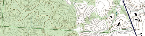
Imaging the Menominee Forest
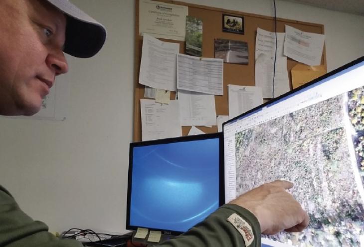
In northeast Wisconsin, Menominee Tribal Enterprises (MTE) is using imaging technology to manage its 200,000 acres of forest lands, containing more than 2 billion board feet of lumber. The forest enterprise sustainably harvests about 7,000 acres annually. Paul Crocker, GIS and inventory forester for MTE, manages a staff of two and relies on GIS, imagery, and LIDAR, in addition to traditional field measurements. “The better the information, the better decisions you can make over time to understand where you are or where you’re going,” says Crocker, who’s also an adjunct instructor at the College of Menominee Nation.
MTE’s forest managers have information on the forest’s inventory stretching back 100 years, and Crocker says that he and his staff add to that body of data with a combination of fieldwork and remote imaging. That’s how Crocker says the tribe was able to determine that MTE’s harvestable timber inventory has nearly doubled over the past 60 years to over 2 billion board feet. “I’m amazed that foresters were able to do it in the past without GIS,” he says.
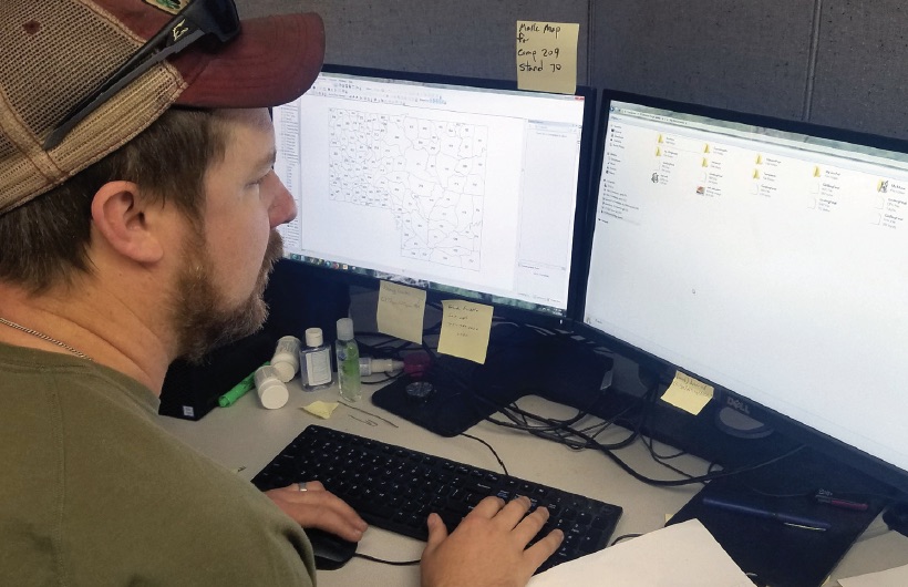
After the data is collected, it needs to be organized. “One of the primary ways we do that is through databases, including GIS,” Crocker explains. Fortunately, you don’t need a degree in geospatial sciences to access it, thanks to innovations like an online web browser accessible by non-GIS professionals. “They can open a map that looks like Google Maps and access it through that,” says Crocker. “They can also take data into the field on the devices like handheld mobile computers.”
MTE is also moving to deploy tablet devices for fieldwork. In fact, Crocker is working with a tribal college student to create a story map about forest management, which upon approval would be public. “It describes in general terms how forest management operates and its history on Menominee,” he says, “and uses that as a stepping-off point for communications.”
The forest managers also keep track of forest diversity, including the proportion of older to younger trees and species diversity. But in Wisconsin, broader climate change issues are taking a back seat to more immediate concerns such as forest fragmentation and invasive species — like the emerald ash borer, whose range has been broadened by warmer winters. “There’s nothing you can point to regarding what you do differently to defend against climate change, other than maintaining the diversity in the forest and the forest’s health,” explains Crocker.
Enhancing Biodiversity in Montana
The Confederated Salish and Kootenai Tribes (CSKT) in Montana manage nearly 460,000 acres of forest land on the Flathead Reservation. In addition to a 293,000-acre timber production area, tribal foresters are keenly invested in restoring and sustaining biodiversity and maintaining wilderness areas. The CSKT is also reestablishing populations of threatened and endangered wildlife, like the peregrine falcon and trumpeter swan.
Kelly O’Bennick is part of the CSKT forestry team working to sustain productivity and diversity of the forest’s ecosystems — and they too are making use of LIDAR and GIS. A GIS analyst who holds a bachelor’s degree in forestry, O’Bennick recently earned her MS in geospatial sciences and sustainable management from the University of Washington.
“Recently we started using ArcGIS online cloud services through ESRI [a leading GIS software and web application],” says O’Bennick. “This allows us to share data with other departments, as well as with our fieldworkers.” Other apps support data collection in the field. “It makes certain aspects of the timber management easier and more readily available to other departments,” she says, adding, “These apps allow foresters to be more efficient when collecting data. The days of paper and pencil seem to be a thing of the past.”
The tribe also uses LIDAR data from the “VMap,” or Vector Map, supplied by the U.S. Forest Service and sourced from the National Imagery and Mapping Agency. “The VMap is basically a vegetation map that is updated about every six years,” says O’Bennick. “Our forester will overlay VMap data with a timber stand they are preparing for a sale and compare the data.” The mapping data also helps assess timber stand health, habitat, and crown density, she says. “When I compare the ‘old way’ of forestry to the technology available to us today, it’s amazing.” O’Bennick adds that although she tries to research all the new technologies that are being introduced to determine where they might benefit her tribe, it’s difficult to keep up on “the latest and greatest.”
In the article “Two Forests Under the Big Sky: Tribal vs. Federal Management,” commissioned by the Property and Environment Research Center, author Alice Perry compares the CSKT’s forest operations with the nearby Lolo National Forest, concluding that the tribe’s management provides for both harvesting timber profitably and maintaining a healthy ecology — in fact, the article states that the tribe is doing a better job than the Forest Service.
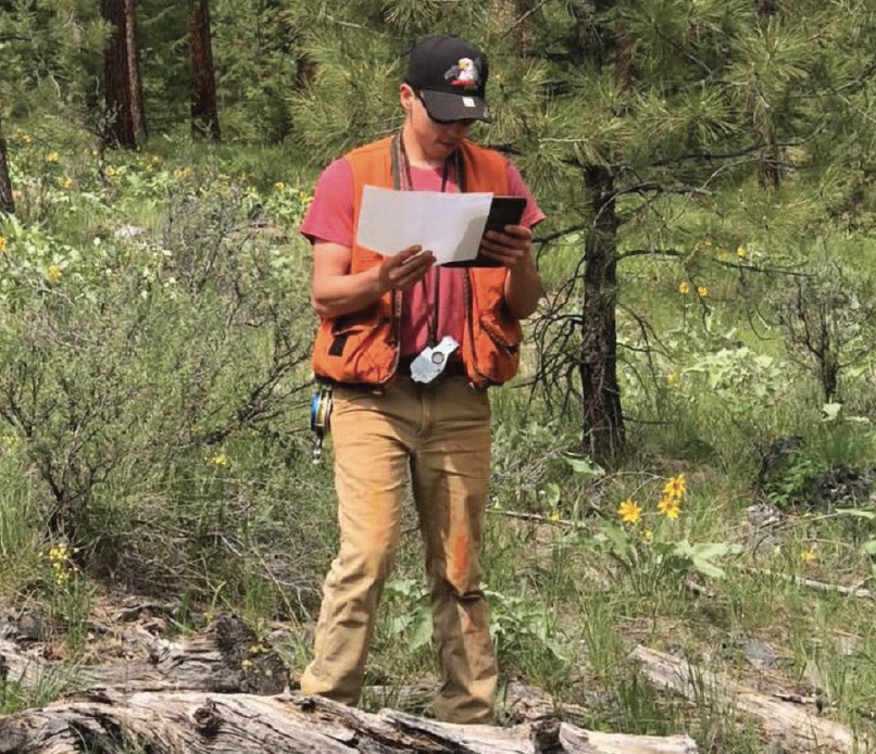
Kellen Couture uses a tablet to find the plot center for cruising.
Managing Gila River Land
The tribe’s old hospital is the heart of land use planning in Arizona’s Gila River Indian Community (GRIC). Former medical offices are now crammed with high-resolution printers, large-screen displays, and other tools of the geographer’s trade. Arizona State University helped the tribe set up its sophisticated GIS, and the tribe returns the favor by taking on interns for advanced training.
Land Use Planning and Zoning Department Director Kimberly Antone and GIS Manager Leslie Stovall work with a staff of five. “We’ve installed GPS base stations in every one of GRIC’s seven districts,” says Stovall. They conduct ground surveying and collect and update data ranging from physical addresses to the location of utility installations. Land features, vegetation, home and commercial sites, reservation boundaries and signage, and rights of way are all part of the job. Each home is mapped with its physical address, GPS location, and whether it’s currently occupied. It’s valuable information for first responders, and the department is preparing a portal so that all tribal departments can access GIS data.
Stovall, who also has degrees in art and architecture, studied civil engineering and started with GRIC as a civil engineering technician. Staff members have backgrounds that are just as varied — which comes in handy. “All our systems are tied together,” says Antone. “I didn’t know I would have to learn about horses, bees, and flood control.”
Imaging on the Fly
Managing tribal lands with technology these days includes what many use as toys — drones. “I attended a conference where working drones were able to lay out a 100-plus-acre timber stand within about an hour,” O’Bennick says. “I found that fascinating.”
Since 2017 drones equipped with near-infrared and 4K resolution RGB cameras have been deployed to assess the Menominee Forest. Considering that the last major survey cost $700,000 and required 17 temporary workers, Crocker says that technology helps MTE manage forest health with its small staff. “We have a pretty active drone program for remote sensing,” he adds. “We’re performing a combination of surveys from mapping the stands to using the near-infrared part of the spectrum to look at forest health.”
As 21st-century technologies are deployed to monitor and manage tribal lands, more people skilled in imaging, GIS, LIDAR, and similar systems will be needed. Natural resource and land managers currently working in the field are becoming certified in these new technologies. “I would recommend that anyone interested in GIS take as many courses as they can,” says O’Bennick. “GIS is constantly evolving.” ■
Careers in GIS
A wide variety of employers in government, industry, energy development, health care, agriculture, and natural resources are looking for skilled geographic information system (GIS) professionals to provide data they rely on to make decisions. According to the Bureau of Labor Statistics (BLS), the field of geographers — which includes GIS specialists and analysts, surveyors and surveyor technicians, imaging specialists, and similar job titles — is projected to grow 7 percent from 2016 to 2026. These professionals use several technologies in their work, such as GIS, remote sensing, light detection and ranging (LIDAR), and global positioning systems (GPS). BLS reports that the median annual pay for these specialties is $80,300. These jobs require at least a bachelor’s degree in GIS technology, geomatics, or environmental science, which many universities offer. Some people obtain a bachelor’s degree in their specialty — like forestry or geology — and move on to obtain a graduate degree in GIS technology.